Traffic News
Dallas intervenes to make a better smarter plan for big redo of I-30

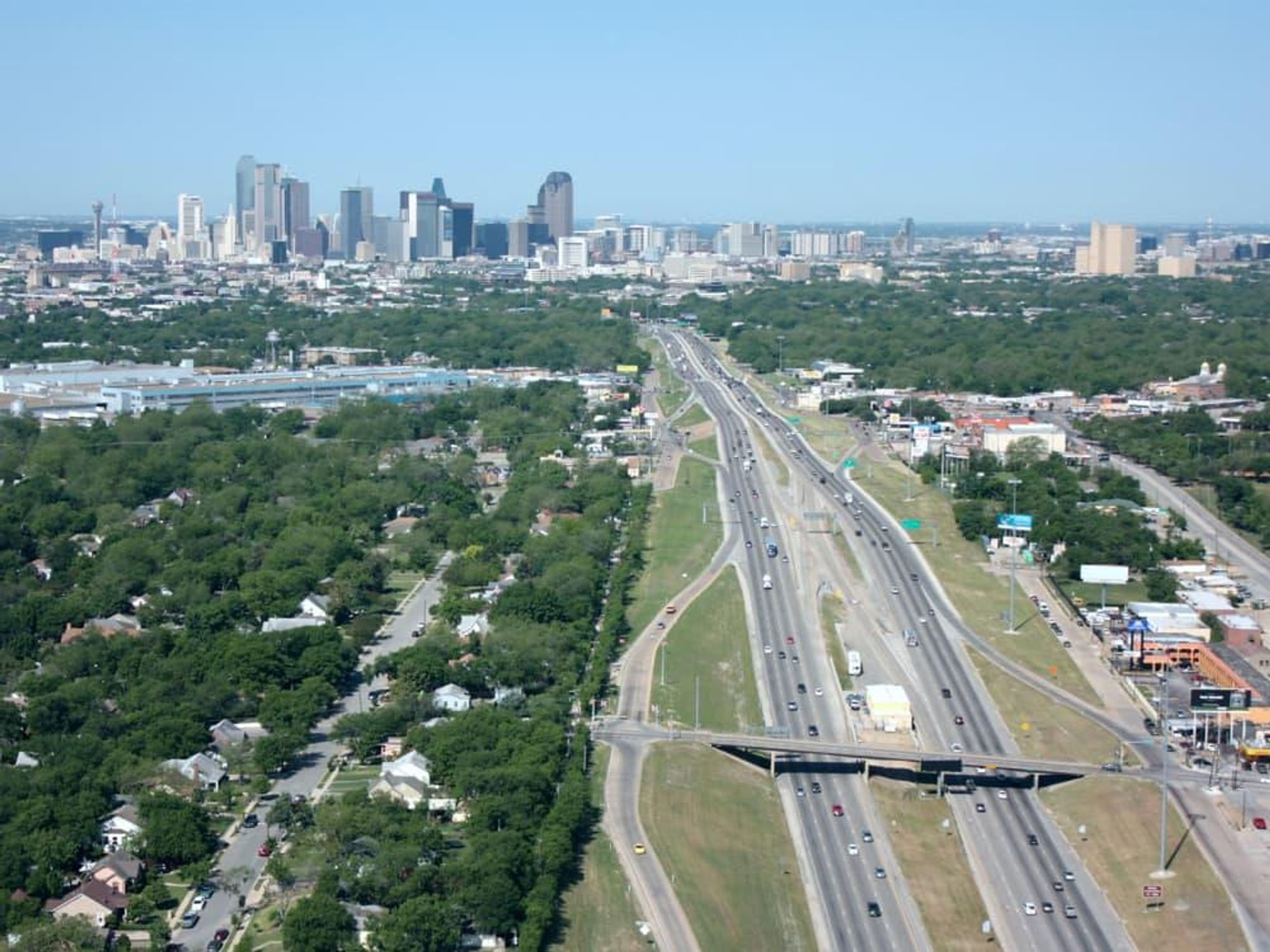
Planning is underway for the reconstruction of Interstate 30, the main east-west freeway that runs through Dallas, and the city is taking unprecedented steps to get things moving in the right direction.
To that end, the Dallas City Council passed a resolution on February 27 to establish priorities on how the construction should go down.
Called the Guiding Principles, it lays out key points that follow modern trends in urban planning, including emphasizing public transit and neighborhood-friendly streets.
The Guiding Principles resolution was adopted unanimously and marks the first time the city has asserted its position and priorities on highway construction.
The I-30 renovation will be executed by the Texas Department of Transportation. The subject was brought to the attention of the City Council by the Department of Transportation, formed a year ago to highlight issues exactly like this, to have a greater influence in the design of projects that impact Dallas.
TxDOT's preliminary design threatened to wreak havoc, with more lanes and bigger overpasses and frontage roads that would have involved seizing property, both businesses and homes, by eminent domain.
Although the renovation won't start for a few years, Michael Rogers, director of the Department of Transportation, said it's important to get the conversation going as soon as possible.
"Once a project gets to a high level of design, the opportunity for changes becomes very limited," Rogers said. "We want to [establish our priorities] as soon as possible, but we're doing this in a way where we have brought in all of our stakeholders."
I-30 hopes and dreams
City leaders are urging TxDOT to keep I-30's profile the same size or even smaller. That means keeping it to six lanes and not expanding it wider, and possibly placing the freeway below grade, with recessed roadways and vertical walls, like those on Central Expressway.
Frontage roads would be cantilevered over the highway to allow street parking and possibly stimulate development. Tucking frontage roads slightly over the highway would allow more shops, offices, and housing to be built along a new I-30 from Munger Avenue to Hotel Street near the Convention Center.
The city hopes to take possession of sloping banks and long circular exits in the current configuration. TxDOT already anticipates abandoning a large swath of land in the Farmers Market neighborhood, and strips of land north of I-30 near City Hall and in the new East Quarter district.
Seven overpasses are being proposed for pedestrian, bike lanes, and transit connections. Tree-lined streets, large planter boxes, and murals would serve as buffers between street traffic and sidewalks. The city has also identified additional spots where overpasses could go, to increase connectivity.
Deck parks everywhere
There are three locations targeted for new deck parks downtown:
- along Lamar Street south of the convention center
- between Ervay and Ackard south of City Hall
- Farmers Market between Harwood and Cesar Chavez
TxDOT’s CityMAP study first identified the sites along I-30 as potential deck park locations. If Dallas has its way, the highway will be rebuilt to accommodate deck park construction in the future.
For now, all of the design elements are daydreams. The discussion so far is only on basic concepts of the forthcoming reconstruction. Design and construction timelines, as well as public hearings and input, have not yet been set and are still years away.
TxDOT's conceptual plan does not take into account current transit projects, such as the high-speed rail station, streetcar opportunities, and D2, the planned underground rail line through downtown.
Future of I-345
What’s also not included in TxDOT's concept is the future of I-345, the elevated highway on the east side of downtown that divides the Central Business District from Deep Ellum and beyond.
Three scenarios are being floated: modifying to remove downtown off-ramps, sinking the highway below grade from Canton Street to Ross Avenue, or removing it altogether. Dallas wants TxDOT to plan and construct both highway reconstructions concurrently to reduce traffic disruption.
"When we look at these interstates, it makes sense to do this in a holistic way to look at I-30 and I-345 at the same time," Rodgers said.
West of downtown, TxDOT is currently adding 18 miles of managed toll lanes on I-30 from Sylvan Avenue to President George Bush Turnpike. That expansion is expected to open in 2020, providing one managed lane in each direction and two additional reversible lanes.
TxDOT will also improve I-30 east of Dallas to Highway 80 following the downtown reconstruction.
There are three strategic plans used to guide transportation decision making in Dallas. CityMAP is TxDOT's plan adopted in 2016 developed with local support. The Downtown 360 plan was published by the City of Dallas and Downtown Dallas, Inc. in 2011 and updated in 2017. Lastly, the High-Speed Rail Station Zone Assessment was published in 2017 and commissioned by Texas Central Partners.
Guiding Principles are as follows:
- Accommodate multi-modal connections across, and mass transit options along, the I-30 corridor
- Incorporate "complete streets" and other urban design elements to frontage roads
- Not be any higher or wider than the current I-30 and should include at-grade crossings to improve neighborhood connectivity
- Include better multi-modal connection to the High-Speed Rail station area
- Maintain the street grid where appropriate
- Maximize development potential of abandoned right-of-way through ramp reconfiguration
- Provide for strategic placement of deck parks
- Allow for alternative scenarios for I-345 redesign and include design and plans for the construction of I-345 concurrent with the I-30 project.

 Book your table for two now. Getty Images