Happy Trails
100-mile nature trail connecting Austin to San Antonio springs closer to reality

A proposed 100-plus-mile network of trails from the Alamo to the Capitol is a step closer to completion.
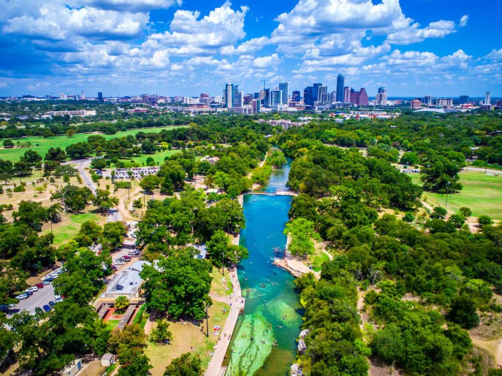
The Great Springs Project, launched in 2018, recently released its Trails Plan. The project aims to create a corridor of protected lands over the Edwards Aquifer recharge zone that connects its four significant springs: Barton, San Marcos, Comal, and San Antonio. The organization hired Alta Planning + Design to create the master plan, which envisions completion of the trail network by the Texas Bicentennial in 2036. Sections of the trail will be built in phases, based on factors such as funding, landowner negotiation, and design.
The newly released plan includes 16 implementation steps, starting with approval of the planned route and securing funding for operations, securing rights-of-way and permits, and construction for each of five phases.
Funding is an immediate priority and one of the biggest challenges, according to Emma Lindrose-Siegel, Great Springs Project chief development officer. “We have a great team, but land acquisition and trail easements are expensive.”
Another major challenge is the rapid growth all along the corridor and the potential that natural areas could be lost before they can be protected.
“Our goal is to achieve the complete plan by the Texas Bicentennial in 2036 in part for that reason,” Lindrose-Siegel says. “That date is to get everything completed. To get the land, we have five or maybe 10 years.”
The route plugs into a variety of existing and planned trails and projects, some of which are already built and can provide people with a taste of the proposed network. Those include:
- Austin: completed sections of the Violet Crown Trail
- San Marcos: Dante’s Trail and Paraiso Trail in Purgatory Creek Natural Area, and East Panhandle, Ridge Loop, and Tex’s Trail in Ringtail Ridge Natural Area
- New Braunfels: Panther Canyon and Dry Comal Creek Nature Trails
- San Antonio: Olmos Basin and Salado Creek Greenways, Mud Creek Trail
In addition to providing access to the outdoors, the Great Springs trail network will help protect Edwards Aquifer recharge zones and connect visitors to the area’s history. The route crosses a variety of natural landscapes and urban settings. An Economic Benefits report released in July 2021 predicted the trail could generate more than $55 million in annual economic, health, and other benefits for the region.
Those interested in supporting the project can sign up for the organization’s quarterly newsletter and follow its social media for surveys and announcements such as community input meetings and volunteer opportunities.
The plan, which took a year-and-a-half to put together, was a huge community effort, Lindrose-Siegel adds, involving a number of partners and community input: “It is just the first step toward implementation. It’s a massive plan and a large-scale project, and it’s going to take all of us to make it happen.”

 In addition to new beds, stitched leather headboards, and integrated lighting, all guest rooms also feature large HD flat screen TVs and new charging ports.Photo courtesy of Grand Hyatt DFW


